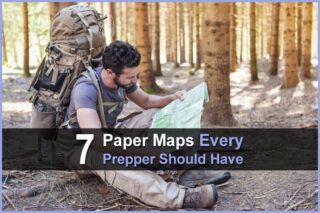


Estimated reading time: 6 minutes
One of the worst things that can happen during a bug out scenario is getting lost. You could accidentally wander into a dangerous area and get mugged, or you could run out of supplies and end up starving. And since you won't be able to count on your phone, you should definitely have some maps with you.
In a world where most everyone has a GPS in their pocket at all times, reading physical maps has become a lost art. But in a disaster scenario, GPS apps in smartphones won't work without an Internet connection, making your smartphone little more than an expensive paperweight.
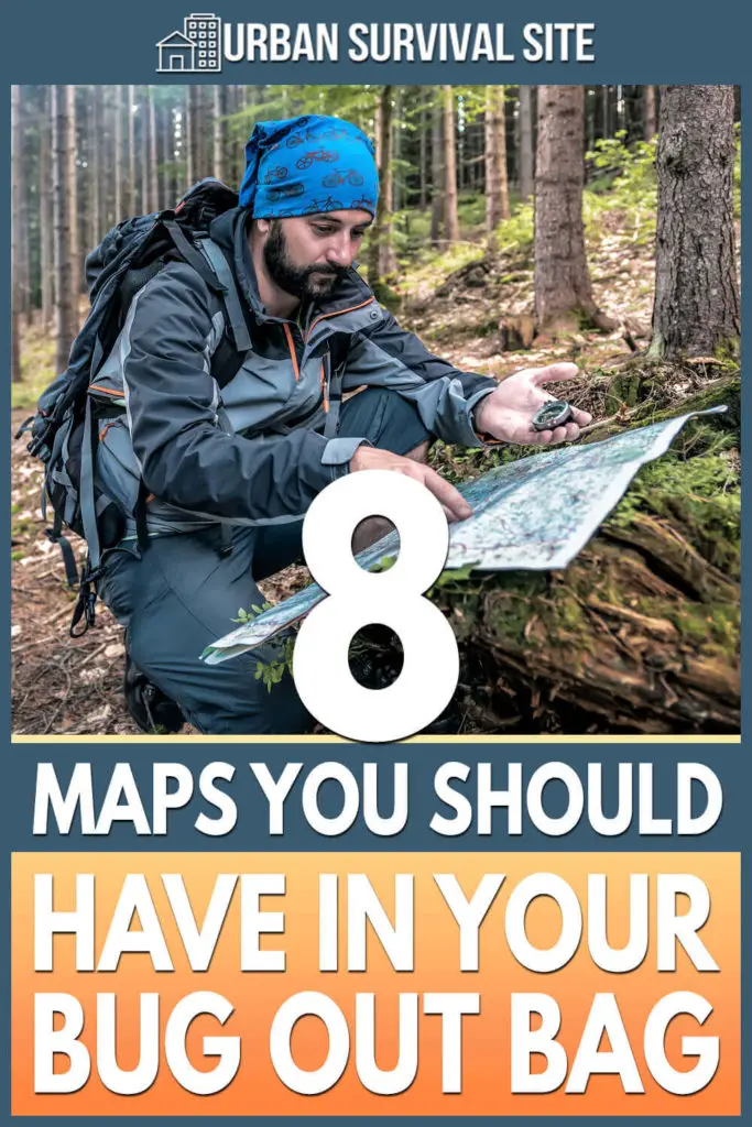
In this article, we’ll cover eight types of maps to pack in your bug out bag. You don’t necessarily have to pack all eight of these, but make sure you have enough maps so that you can take detours, find alternate destinations, and never get lost.
Want to save this post for later? Click Here to Pin It on Pinterest!
1. City Maps
Your bug out will begin in the city that you live in, so its essential to have a map showing all the roads in your city. Even if you are already familiar with your city, keep in mind that the roads you are used to using may be shut down or otherwise inaccessible. Having a city map that shows every possible route could prove invaluable as you navigate out of the city.
2. County Maps
County maps bridge the divide between city maps and state maps. They encompass a larger area than city maps but don’t cover as much area as a state map, meaning they will still include some rural roads that may be left out of a state map.
Remember that even once you make your way out of the city, you still may have to be creative in your routes. Having a county map available can help you find alternate routes out of the county that may not show up on any other map.
3. State Maps
Maps that show the highways and interstates in your state are great for providing you with a big-picture understanding of the various routes you are able to take. While state maps won’t be as detailed as more area-specific maps in regards to all the possible roads that you could take, they do provide you with a good understanding of the major roads across your entire state.
4. Fire Road Maps
Also known as forest service maps, fire road maps show an overview of the fire and logging roads that snake through national forests and public land. Should you need to get off the main road, having knowledge of these alternate routes could prove invaluable. Likewise, if your bug out plan entails you staking out in the wilderness, a fire road map will help you get to where you need to be.
5. Topographical Maps
Rather than showing the roads and destinations in a given area, topographical maps are designed to tell you an area’s geography. In the event that you have to go off-road, knowing what type of geography you are heading for can be incredibly valuable.
It’s important to note that topographical maps can be challenging to read if you don’t know what it is that you are looking at, so take the time to learn how to read a topographical map before you stow one away in your bug out bag.
6. Photo Maps
Photo maps show a satellite picture of a given area as it is, typically without any additional markings. While photo maps may not provide as much of a sense of an area’s topography as a topographical map, or as clear an idea of the roads in the area as other maps, photo maps can still be useful for locating water sources and other areas of interest that mapmakers may have missed.
When you’re looking at a satellite picture of your area, you can rest assured that you’re seeing everything there is to see. Best of all, photo maps can be easily acquired by searching your area or any other area of interest on Google Earth and making a printout of the image.
7. Hunting Maps
Hunting maps are maps put out by a state’s game and fish department in order to help hunters find locations to hunt. Even if you are not using them to locate game, hunting maps can still be useful for getting a better understanding of an area. Hunting maps show property lines, road closures, and terrain, though they don’t show terrain as detailed as a topographical map will.
8. River Maps
Land travel might not be your only bug out option, but if you’re planning on taking to the water, you will certainly want to have river maps available. Thankfully, there are river maps for every navigable river in the United States. These maps not only show where rivers flow and what other waters they connect to, they also show important details such as the terrain and topography of the river and dangerous areas.
Final Thoughts
A map is only as good as the person reading it, and none of the maps mentioned above will provide any value if you aren't comfortable reading a physical map. Whichever maps you put in your bug out bag, take the time to familiarize yourself with them and learn how to read them. You may also wish to mark potential bug out routes along the maps in your bag.
In addition to a collection of maps, other important navigation items include a compass and a battery-powered GPS. A compass is incredibly useful for helping you navigate using a physical map, as it can sometimes be difficult to orient yourself on a map without one. A battery-powered GPS doesn't need an Internet connection as long you download the data you need ahead of time.
Between a collection of maps, a compass, and a GPS, you should have the ability to find your way anywhere you want to go in a bug out in a disaster scenario.
Like this post? Don't forget to Pin It on Pinterest!
You May Also Like: